With MazeMap's tool for map export, you can download your maps to SVGs, PNGs, or PDFs easily, and with your desired level of detail.


When you download your maps, you also get a file with the geo-coordinates of each image. This lets you import the maps directly into other systems that require georeferenced material, such as Cisco Prime Interface. MazeMap's export tool gives you the necessary components needed for a perfect match with CPI, such as:
- Campus overview image
- Individual building floor plans
- Coordinates and dimensions
- Location coordinates for GPS markers
Even though we focus a lot on online interactive maps, we don't limit ourselves to a single medium. We believe the important thing is that indoor information and maps are available to as many people as possible. And sometimes, you want to hand out printed maps or have offline maps available in an application.
With our export possibilities, you can get on-demand updated maps that are useful for creating handouts of themed maps for specific events, or simply to visualize the indoor building area on physical signage, or in a paper format for visitors.


Want to improve your ESG ratings and increase the value of your building?
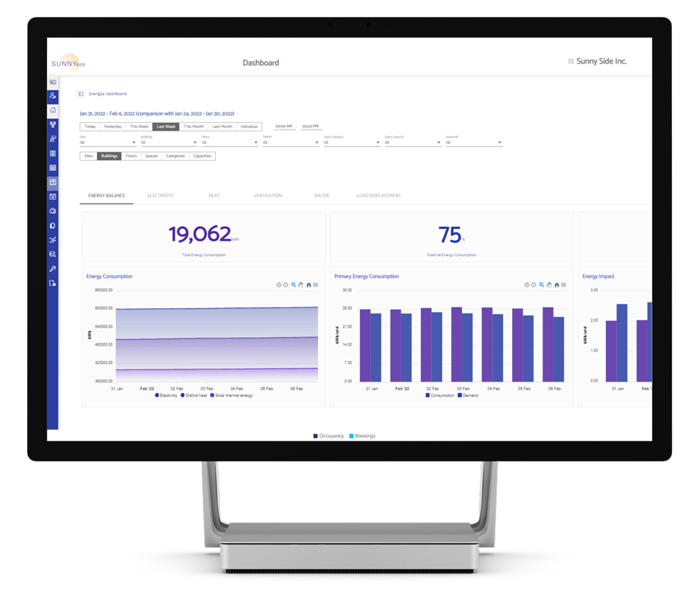
MazeMap Workplace not only helps you optimize space and save resources, but also provides the evidence to prove it. Get accurate analysis of your entire asset portfolio.